Federal Definition of Wetlands
Section 404 of the Clean Water Act - "Those areas that are inundated or saturated by surface or groundwater at a frequency and duration sufficient to support, and that under normal circumstances do support, a prevalence of vegetation typically adapted for life in saturated soils conditions. Wetlands generally include swamps, marshes, bogs, and similar areas." (EPA, 40 CFR 230.3 and CE, 33 CFR 328.3)
DEC Definition
Article 24 of the Environmental Conservation Law "Freshwater Wetlands" means lands and waters of the State as shown on any Freshwater Wetland Map which contain any or all of the following: wetland vegetation, hydric soils, and indications of soil saturation or inundation.
A size criterion is part of the equation. For a wetland to be regulated by the DEC it must be at least 12.4 acres in size or within 165' of a wetland, that is.

My land isn't a wetland, because…
|
|
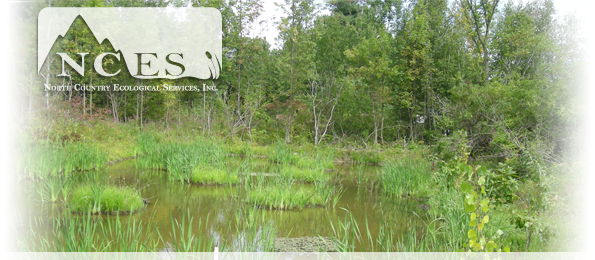
Wetland Terms and Types
Swamp - Wetland dominated by trees and shrubs
Marsh - A continually or frequently inundated wetland characterized by emergent herbaceous vegetation
Bog - A peat-accumulating wetland with no significant in-flow or out-flow
Fen - A peat accumulating wetland that receives some drainage from surrounding upland
Bottomland - Lowlands along streams and rivers. AKA: Floodplain forested wetland
Wet Meadow - Grassland with waterlogged soil near the surface but without standing water throughout the year
How can I determine if a property contains wetlands?
There are two types of determinations:
- In-house determination that utilize existing sources of information such as mapping, soil surveys, etc...
- On-site determination that utilizes the three parameter evaluation (soils, vegetation, hydrology) as outlined in the 1987 Corps of Engineers Wetland Delineation Manual
National Wetland Inventory Maps are available on-line or through:
Institute of Information Resource Systems (IRIS)
Cornell University
302 Rice Hall
Ithaca, New York 14853-5601
(607) 255 - 6520
Wetland classifications
Marine System - Open ocean overlying the continental shelf and coastline
Estuarine System - Consisted of deepwater tidal habitats and adjacent tidal wetlands. They have access to the open ocean and is occasionally diluted by fresh water from the land
Riverine System - Wetlands associated with deepwater habitats contained within a channel. It is bounded on the sides by upland, the channel bank including levees, or by Palustrine wetland
Lacustrine System - Includes all wetlands and deepwater habitats with the following characteristics:
- situated in a topographic depression or a damned river channel
- lacking trees, shrubs, persistent emergents (>30% aerial coverage) and,
- total exceeds 20 acres
Palustrine System - Includes all non-tidal wetlands dominated by trees, shrubs, and persistent emergent vegetation